Project Guacamaya Utilises AI and Satellites to Combat Amazon Deforestation
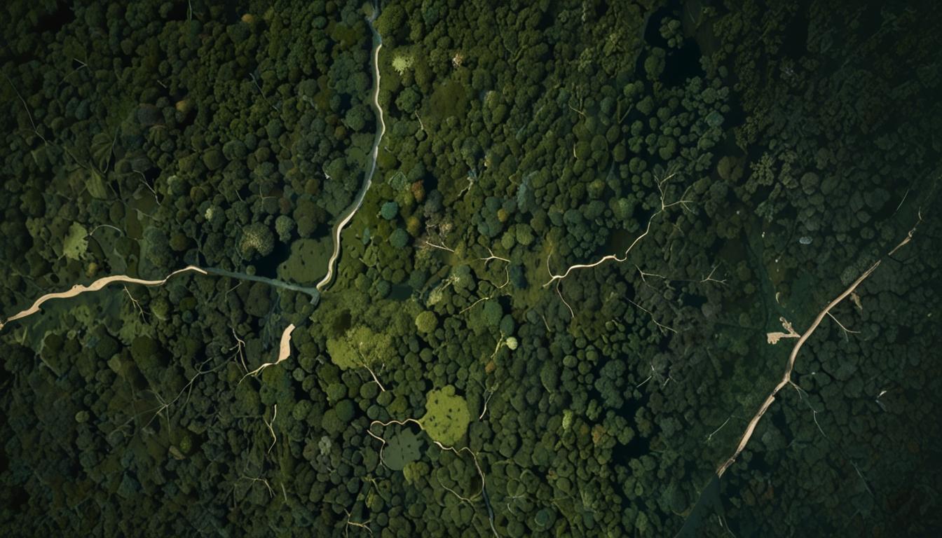
Project Guacamaya, a groundbreaking initiative utilising artificial intelligence (AI) and satellite technology, is making substantial advancements in the fight against deforestation in the Amazon rainforest. By employing a suite of advanced tools, including satellite imagery, camera traps, and bioacoustics, the project is dedicated to monitoring and preserving the region's rich biodiversity.
The Threat to Amazon's Biodiversity
The Amazon rainforest, widely recognised as the world's most intricate biological environment, hosts millions of plant, bird, and wildlife species, many of which are yet to be studied. Despite its ecological significance, from 2022 to 2023, the Amazon saw a staggering loss of around 3 million hectares due to deforestation, equating to an alarming rate of 10,000 acres per day. This was reported by the Monitoring of the Andean Amazon Project.
As ten percent of the Amazon rainforest lies within Colombia's borders, local organisations are tapping into advanced cloud and AI technologies to fight deforestation, improve climate conditions, and protect the flora, fauna, and Indigenous communities residing within.
Technological Innovation in Conservation
Project Guacamaya is a collaborative venture involving several prominent institutions, including the CinfonIA Research Center at Universidad de los Andes, Instituto SINCHI, Instituto Humboldt, Planet Labs PBC, and Microsoft's AI for Good Lab. Together, these partners utilise sophisticated AI models to monitor deforestation and safeguard the fragile ecosystem of the Amazon. The project’s multifaceted approach combines satellite imagery, camera traps, and bioacoustics.
Bioacoustics are particularly important, allowing researchers to detect changes in the forest's soundscape that might signify deforestation threats. According to Pablo Arbeláez, director of the CinfonIA Research Center, "Technology will be a game-changer in saving the Amazon."
Enhanced Monitoring Capabilities
Recent upgrades to Project Guacamaya have substantially bolstered the ability of researchers to track and comprehend deforestation patterns more effectively. Key improvements include:
Daily Satellite Imagery from Planet Labs: Previously updated monthly, satellite images are now refreshed daily, enabling the establishment of daily alerts for deforestation monitoring.
Amazon-Specific AI Models: These tailored models increase accuracy in identifying species unique to the Amazon, significantly accelerating the researchers' workflow by a factor of ten.
Governmental Collaboration: The Institute of Hydrology, Meteorology, and Environmental Studies (IDEAM) in Colombia is now integrating Project Guacamaya’s models into its official deforestation reports.
Open-Source Biodiversity Model: The project has introduced Pytorch Wildlife, an open-source platform designed for creating, modifying, and sharing AI conservation models.
Juan Lavista Ferres, Corporate Vice President and Chief Data Scientist at Microsoft's AI for Good Lab, highlighted the importance of collective effort, stating, "This is a great example of how AI accelerates and supports the work of conservationists. We’ve already made significant progress through this collaboration and I’m looking forward to more impact."
Similarly, Hernando García Martínez, general director of Instituto Humboldt, affirmed, "With this connection of knowledge, institutions, and technology, we want the country to move more forcefully in making critical decisions on how to maintain and conserve ecosystems. We need people to understand the value of nature."
Looking Forward
The advancements in Project Guacamaya showcase the powerful role that technology can play in environmental conservation. By addressing the urgent issue of deforestation in the Amazon rainforest, the project sets an example of how innovative solutions can be used to protect some of the world's most vital ecosystems.
Source: Noah Wire Services