Google Enhances Maps, Street View, and Google Earth with Historical Imagery and AI-Enhanced Tools
Google has announced significant updates to its suite of mapping tools, including Google Maps, Street View, and Google Earth. These updates promise to enhance the user experience through the addition of historical data and the application of advanced AI technologies.
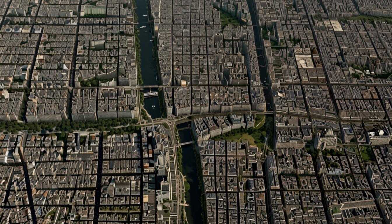
As detailed in a blog post by Google, one of the standout updates is the introduction of historical imagery on Google Earth. This feature, now available to all users on both web and mobile platforms, allows people to explore imagery dating back up to 80 years in certain locations. This historical data, previously restricted to the paid Pro version, is now accessible to the public. Offering a detailed look at how places like London, Berlin, Warsaw, and Paris have changed over the decades, users can navigate through time to see how human activities and climate change have impacted these areas.
Stafford Marquardt, a senior product manager at Google Maps, elaborated on the potential uses of this new feature: "Maybe you want to travel back in time and see what your neighbourhood looked like decades ago. Or you want to understand how forests have been affected by human activity and the changing climate."
In addition to Google Earth's historical imagery, Google Maps is getting a substantial increase in its Street View coverage. Updated imagery will span across 80 countries, including places that are receiving Street View for the first time. Example locations from Google’s blog post highlight updates in Iceland, New Zealand, Brazil, Mexico, Tasmania, Japan, Denmark, and France. Launched in 2007, Street View now boasts over 280 billion images, marking one of the most significant expansions in its history.
Another key improvement involves the "sharpening" of satellite imagery across Google Earth and Google Maps. Leveraging AI, new cloud removal tools have been implemented, resulting in clearer and more accurate global mosaics. These enhancements are designed to give users a more precise view of Earth's surface.
These updates come shortly after Google Maps received another enhancement earlier in the week, with improvements to its lane navigation interface on Android Auto.
Waze: Some Features Foregone Despite Recent Improvements
Parallel to Google’s updates, another navigation app, Waze, has seen a series of improvements aimed at enhancing the driving experience. Owned by Google but maintaining a separate development path, Waze's recent updates include alerts for speed bumps, changes in speed limits, merging lanes, improved roundabout navigation, and warnings for sharp curves. These updates are intended to make navigation easier, safer, and more convenient.
However, there are notable features that Waze has decided not to pursue, despite user demand. Unlike Google Maps, which offers multiple layers, Waze only provides a standard map view. Calls for a satellite view in Waze have been dismissed by the company, with the team arguing that such a feature would not improve the driving experience but instead be more suited for offline exploration and panning.
Moreover, Waze does not plan to introduce scenic route options, as its primary goal is to get users to their destinations as quickly as possible. The app’s current routing sometimes directs drivers through narrow residential streets, which has led to complaints about disruptions in quiet neighborhoods.
Other features requested by users but not on Waze’s current roadmap include dashcam support and integration of weather information. Dashcam mode, for instance, would capitalise on the phone’s existing position on the windshield, but despite user requests, Waze is focused on improving navigation rather than expanding additional functionalities. Similarly, while weather conditions are crucial for safe driving, Waze will not include weather information as it doesn’t align with the app’s primary objective of optimising travel time.
In response to concerns about traffic disruptions in residential areas, Waze has occasionally complied with requests from authorities to remove certain streets from its routing engine. Nonetheless, users still desire a feature allowing them to avoid specific streets on their journeys, although this feature is not currently planned.
Overall, both Google and Waze continue to evolve, incorporating new technologies and responding to user demands where possible. Whether it's through historical imagery on Google Earth or enhanced alerts on Waze, users now have more tools at their disposal to navigate and understand the world around them.
Source: Noah Wire Services