AI Implementation Paves Way for Precise Soil Sealing Monitoring in Germany
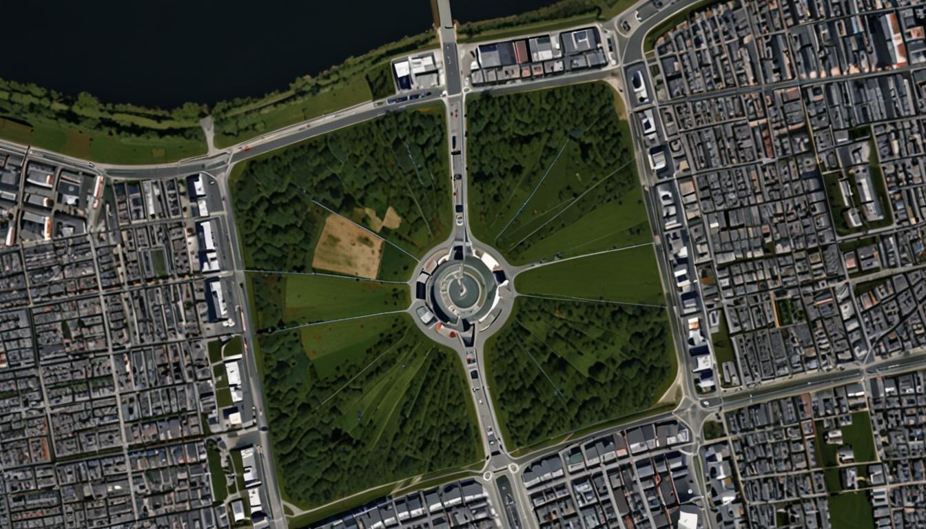
Bochum, Germany— An innovative method spearheaded by geoscientists at Ruhr University Bochum promises improved monitoring of impervious surface areas in line with Germany's Sustainability Strategy. The method, which utilises artificial intelligence (AI) to process aerial imagery, aims to ensure that covering new impervious surfaces remains under the national target of 30 hectares per day.
Geoscientists, under the leadership of Professor Andreas Rienow, are concentrating their efforts on North Rhine-Westphalia (NRW) to refine and test this method. The project, named "Capturing the impervious surface area throughout North Rhine-Westphalia to determine the soil sealing indicator" (EBOVE), focuses on developing a highly accurate model to automatically identify impervious surfaces—such as roads and buildings—from aerial images.
Ph.D. student Jan-Philipp Langenkamp has adapted and enhanced open-source AI models for this task. Over 1,000 working hours have been dedicated to creating and curating high-quality training datasets, enabling the AI model to distinguish between pervious and impervious areas with an approximate 90% accuracy rate. This method marks a significant improvement over traditional techniques based on land registers, which can be less precise due to the exclusion of minor structures like garden sheds—which do not require planning permission—from the survey records.
Professor Rienow highlighted the limitations of using land survey registers from 53 land registry authorities: "Smaller buildings such as garden sheds, for example, which don't require planning permission, are not recorded. Such supposedly small deviations from reality do add up."
To address these discrepancies, traditional authorities have assumed standard percentages of impervious surfaces in residential zones and transportation infrastructures, often estimating that 50% of these areas are impervious. While this method provides useful estimates, it lacks the precision needed for accurate environmental planning and monitoring.
A distinguishing feature of the AI model designed by Langenkamp is its contextual awareness. Instead of solely evaluating each pixel in the image, the algorithm considers contextual clues to improve accuracy. "For example, buildings often have a road run next to them—and our algorithm is aware of this fact," explains Langenkamp.
Furthermore, the software developed is user-friendly, enabling it to be operated at the touch of a button. It automatically processes publicly available geodata from NRW without requiring users to have prior specific technical knowledge. This user-centric design allows the analysis to be conducted repeatedly every two years using updated datasets, facilitating ongoing and accurate monitoring.
The findings and advancements of this research have been published in "Rubin," the science magazine of Ruhr University Bochum, underscoring the ongoing collaborative efforts to enhance the monitoring of impervious surfaces in accordance with Germany's sustainability goals.
This development marks a crucial step in environmental management, potentially offering a blueprint for similar initiatives in other regions of Germany and beyond.
Source: Noah Wire Services