PIX4Dfields 2.8 Update Introduces Advanced Features for Precision Agriculture
In a significant advancement for agricultural technology, PIX4Dfields has launched its latest version, 2.8, boasting an array of features aimed at enhancing precision in farming practices. Central to these updates are innovations in drone technology and data analysis, designed to improve efficiency and sustainability in the agricultural sector.
Variable Rate Application with XAG Drones
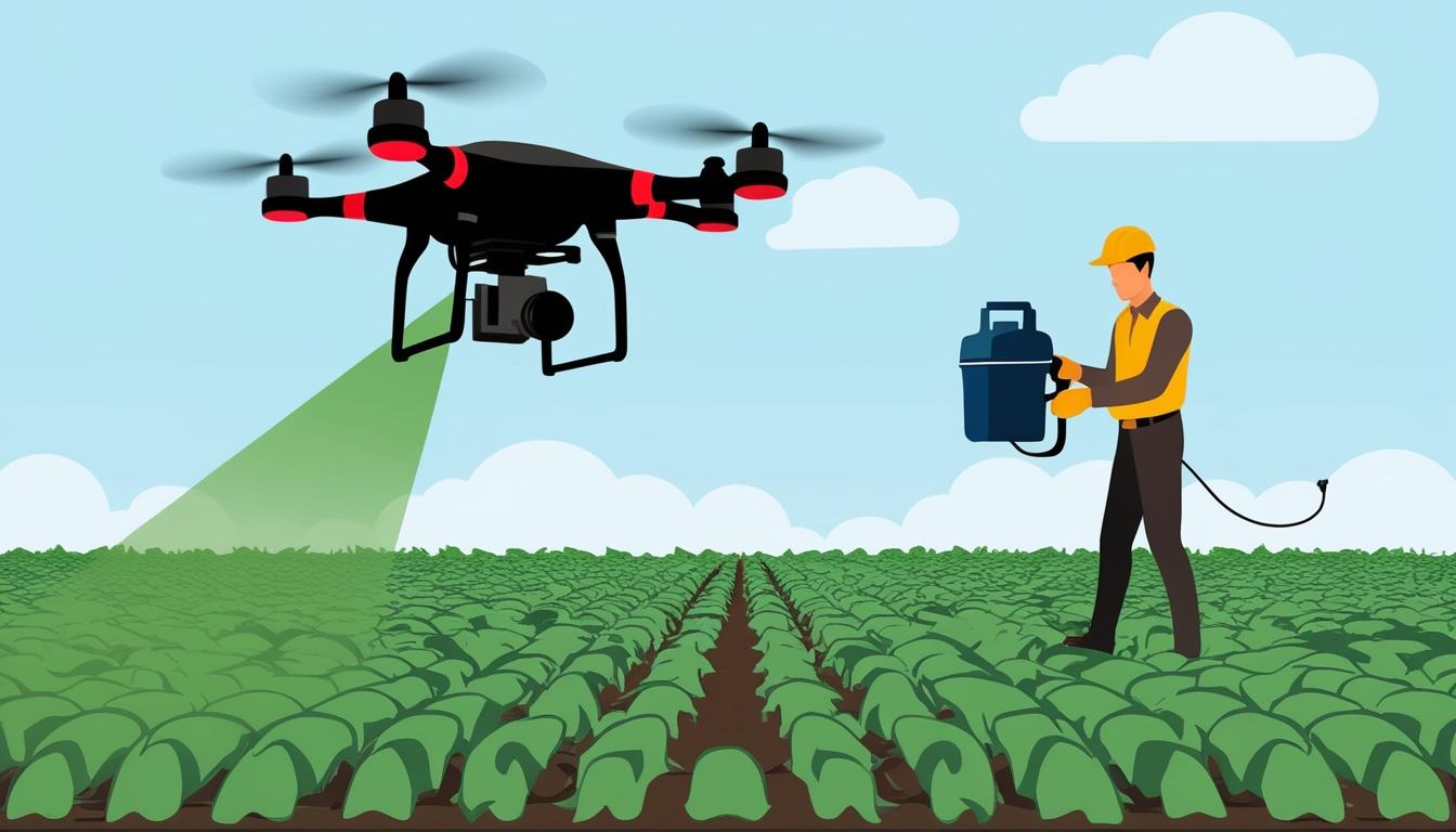
A highlight of PIX4Dfields 2.8 is its tailored export format compatible with XAG spray drones. This integration facilitates Variable Rate Application (VRA) and spot spraying, revolutionising the way drones can manage crop treatment. Using data created from Normalized Difference Vegetation Index (NDVI) maps, these drones can customise flight paths to apply treatments precisely where needed, avoiding areas that do not require intervention. This precision reduces the use of agricultural inputs, thereby saving resources and minimising environmental impact.
Enhanced AI Crop Reports
The update also introduces an AI-driven crop growth status report, capable of synthesising and analysing various data, such as crop stages, weather conditions, soil properties, and vegetation health from NDVI maps. This comprehensive report aids farmers in making informed decisions, enhancing crop management strategies, and simplifying documentation processes.
Support for Advanced Multispectral Sensors
Further enhancing its capability, PIX4Dfields 2.8 now supports sensors from Agrowing, including the Quad and Sextuple multispectral sensors. These sensors deliver high-resolution imagery across numerous narrow bands, facilitating detailed vegetation indices for stress, disease, and weed detection. This partnership allows users to explore applications in plant health monitoring and agricultural research at unprecedented levels of detail and speed.
Buffer Tool for Broadened Application Zones
The introduction of a Buffer tool provides the means to expand target application zones around specific areas. This tool proves particularly useful for spot spraying applications, ensuring effective coverage even with equipment that lacks precision. It also supports the integration of point data in creating customised prescription maps, offering more flexibility and adaptability in operational planning.
Conclusion
PIX4Dfields 2.8 presents a comprehensive suite of tools aimed at optimising the productivity and sustainability of farming operations through precision agriculture technologies. With enhanced drone compatibility, cutting-edge AI analysis, and support for advanced sensors, this update represents a significant leap forward for agricultural practitioners seeking to leverage data-driven farming practices.
Source: Noah Wire Services