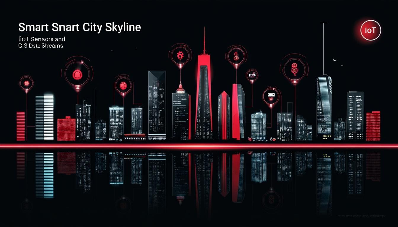
Significant advancements in technology are reshaping how urban areas function and respond to environmental challenges. The integration of Geographic Information Systems (GIS) with the Internet of Things (IoT) has become pivotal in the real-time monitoring of spatial data. With an anticipated surge in IoT devices, expected to exceed 27 billion by 2025, GIS platforms are harnessing this influx of information to improve urban living and promote sustainability.
One notable application of this technology can be seen in the development of smart traffic systems. By utilising IoT sensors linked to GIS frameworks, municipalities have reported impressive outcomes. Data indicates that cities employing these technologies have realised up to a 20% reduction in travel times, alongside a significant 15% decrease in carbon emissions. These improvements are contributing to not only more efficient transportation networks but also enhanced urban air quality.
Moreover, the impact of IoT-enabled GIS extends beyond traffic management; it is transforming the landscape of environmental monitoring. Authorities can now access valuable real-time assessments of air and water quality, facilitating prompt responses to ecological issues. This capability is instrumental in fostering environmental resilience and enhancing the overall quality of urban life.
As these technologies continue to evolve, their potential to drive improvements in urban functionality and ecological safety highlights a significant trend in AI and automation as businesses and governments alike seek innovative solutions to meet the challenges of contemporary urbanisation and climate change. The potential for GIS and IoT to synergistically enhance city management reflects an exciting frontier in the intersection of technology and sustainability.
Source: Noah Wire Services